Draw the plan on real coordinates.
SitePilot's plan editor is a GIS-based canvas for vehicle, pedestrian and activity plans. You draw routes, zones and signage on real-world coordinates over satellite or your own survey imagery — so the plan matches current ground conditions, not what happened last month.
Your survey, under every line you draw.
Overlay drone and aerial GeoTIFF surveys, pull WMTS feeds, or work from built-in satellite imagery. Because everything sits on real coordinates, a route drawn in the office is the route driven on site.
- Survey layers — drone/aerial orthomosaics, georeferenced automatically
- WMTS feeds — your own captures alongside basemap services
- Reference layers — KML, KMZ, zipped shapefile (.shp + .dbf + .prj), .dwg, or 12d (.12daz / .12da) along with custom swept paths
- Markup layers — organised in folders, toggled per plan
Tools a site engineer can use on day one.
Routes, zones, gates, annotations — plus an AS 1742/AS 1394-aligned signage and symbol library so plans read like the standards your auditors expect.
- Signage library — AS-aligned signs and symbols, drag-on
- Custom legends — consistent across every project plan
- Templates & scratch pad — start from your standards, not a blank map
Multi-user editing, without the overwrite wars.
Project teams edit the same plan in real time. Edit locks stop collisions, comments keep the reasoning on the plan itself, and when it's ready, the draft moves into the approval workflow.
- Real-time collaboration — see teammates' cursors and changes live
- Edit locks — no silent overwrites
- Comments — discussion pinned to the geometry it's about
 SitePilot Apex
From the moment your survey lands to the plans on-site.
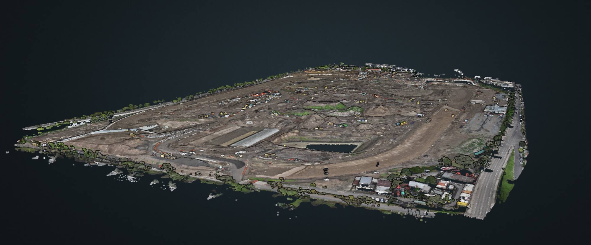
Deliver survey data — orthomosaics and point clouds — into SitePilot alongside your GIS workflow. Render, measure and classify your point clouds; the same source serves every plan.
Contact us to learn morePlan editor questions
Do I need GIS experience to use the editor?
No. The editor is GIS-based under the hood — real coordinates, projections handled for you — but the tools are built for site and safety managers, not GIS specialists. If you can mark up a PDF, you can draw a plan.
Can I use my own drone survey imagery?
Yes. Upload GeoTIFF orthomosaics from drone or aerial surveys and they appear as layers under your markup, georeferenced to the same coordinates. WMTS feeds are supported for live basemap services.
Are the signage symbols compliant with Australian standards?
The signage and symbol library is aligned to AS 1742 and AS 1394, and legends stay consistent across all projects in your organisation.
Can several people edit a plan at once?
Yes — editing is multi-user and real-time, with edit locks to prevent conflicting changes and comments to keep discussion on the plan.
What happens when the plan is finished?
It moves to Publish & share: a draft → approval → publish workflow, with QR codes, URL/SMS/email sharing and version history. Read about Publish & share →
Draw your next VMP in SitePilot.
A 30-minute demo with the team that builds the product — bring a current plan and we'll rebuild it live.