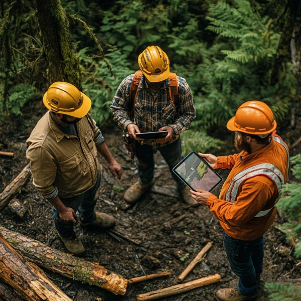
Improve safety awareness and efficiency on-site
Leverage SitePilot to effortlessly create detailed maps and keep various forestry stakeholders consistently informed


SitePilot offers accessible GIS-based mapping for forestry operations to communicate access, works planning, harvesting and hazard identification - with a toolset anyone can learn in minutes.
Keep your team and external stakeholders informed. Easily create concise and accurate maps detailing boundaries, routes, staging areas, property boundaries, wildlife protection zones and more.
Create interactive maps complete with GPS positioning features, giving your teams the information they need in just a few clicks.

Discern cutting zones, future harvest zones and protected areas
Identify logging roads, skid trails and equipment access paths with dimensional data
Mark up slopes, powerlines, unstable or wet ground and more
Highlight protected areas, wildlife habitats, stream buffers and sensitive ecosystem areas
Provide clear direction to third-party contractors and consultants with GPS guidance
SitePilot can help your organisation to create maps for internal and external communication - clearly depicting everything from equipment staging, to property bounds, water crossings, remote camp locations and public access changes. Update created maps in minutes, and everywhere they've been shared will be updated instantly.

Preview an example map created in SitePilot, by clicking the button below.
This map has been created for demonstration purposes only.
Drop your details below and we'll get in touch to arrange a demonstration of the tech. Don't worry - we won't spam you.